



The now sprawling township of Penwortham has a long history, its existence being first recorded in the Domesday Book.
And at one time the village developed in two separate parts, Lower Penwortham, by the 18th century bridge, and Higher Penwortham, round the parish church of St Mary and the priory.
Nowadays, however, the whole area simply falls under the blanket name of Penwortham, though some of the older generation among us still refer to it as Lower and Higher Penwortham. Here you can see the changing face of the town from the 30s right the way up to the 70s.
13. Penwortham past
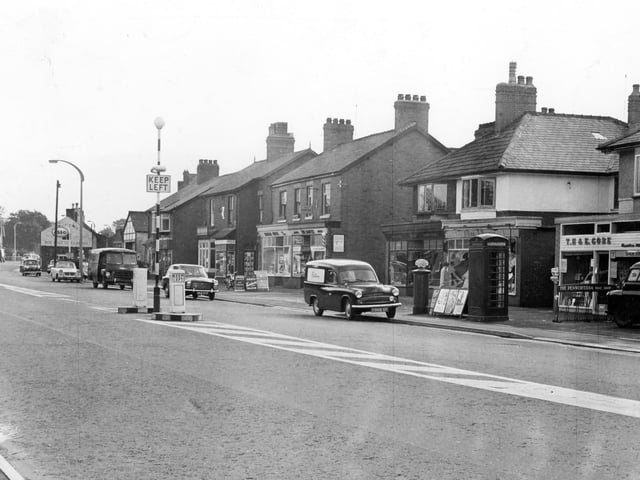
A plan in 1963, when this image was taken, was hatched to put lay-bys outside this row of shops on Liverpool Road in Penwortham, near the junction with Queensway, and was Preston Rural District Councils' answer to the traffic problems there Photo: Archive
14. Penwortham past
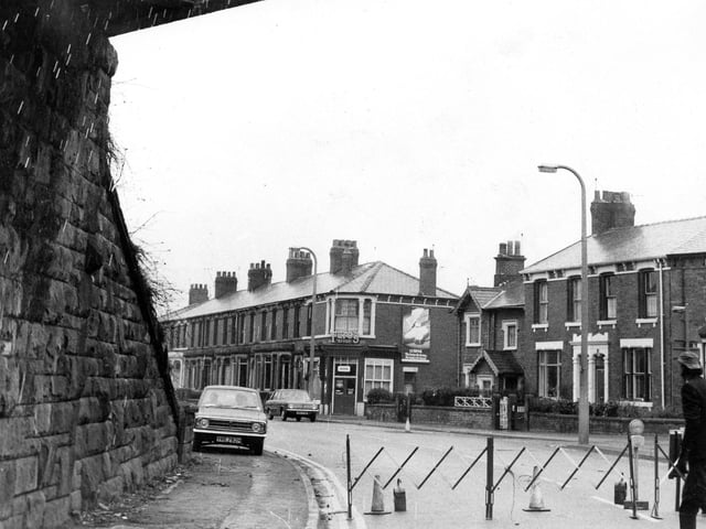
Still on Leyland Road in Penwortham, we are now stood underneath the old railway bridge at Middleforth Green. The bridge was named 'killer bridge' by residents who feared for the safety of their children. This picture was taken in 1970 as workmen closed off parts of Leyland Road and a demolition team got to work slicing the girders into sections with cutting torches Photo: Archive
15. Penwortham past
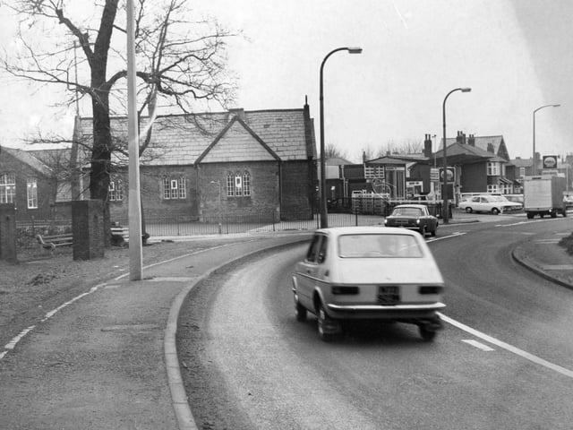
This image taken in 1973 shows Leyland Road in Penwortham, one of the main thoroughfares through the town Photo: Archive
16. Penwortham past
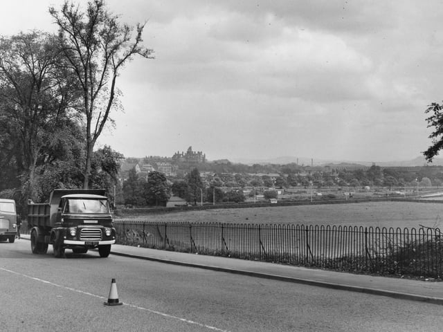
Timber... or the absence of it has meant a new vista for travellers approaching Preston on the main A59 road from Southport and Liverpool. On Penwortham Hill the tree felling operations have left a gap giving a view across the valley towards the hills of East Lancashire. In the foreground of this image, taken in 1961, on the left can be seen the old Park Hotel, now offices for the Lancashire County Council, while to the right is the main railway bridge across the Ribble Photo: Archive