



The now sprawling township of Penwortham has a long history, its existence being first recorded in the Domesday Book.
And at one time the village developed in two separate parts, Lower Penwortham, by the 18th century bridge, and Higher Penwortham, round the parish church of St Mary and the priory.
Nowadays, however, the whole area simply falls under the blanket name of Penwortham, though some of the older generation among us still refer to it as Lower and Higher Penwortham. Here you can see the changing face of the town from the 30s right the way up to the 70s.
9. Penwortham past
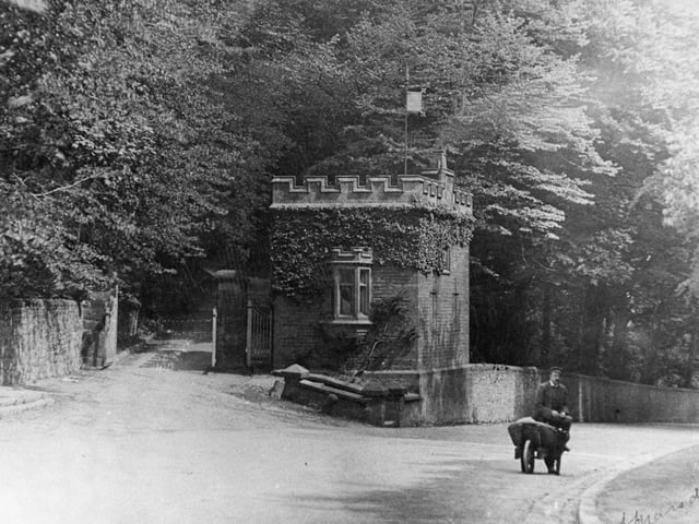
Here we see Penwortham Priory Lodge in around 1900. It stood on Penwortham Hill, at the junction with Church Avenue (which is now little more than a track at that point). It was demolished in 1912 for the widening of Penwortham Hill and rebuilt in Hutton Photo: Archive
10. Penwortham past
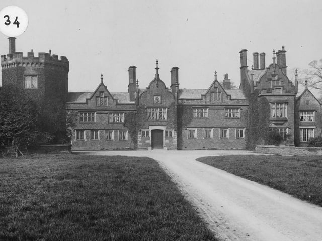
Another view of the glorious edifice that was Penwortham Priory. When this image was taken, before its demolition in 1925, it wasn't a Priory, rather a mansion built on the site of the Benedictine priory by the Fleetwood family Photo: Archive
11. Penwortham past
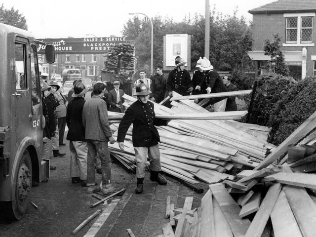
Traffic was delayed for a time in 1962 when a timber lorry shed its load across Leyland Road, Penwortham, near the Bridge Inn. A van was damaged by the falling timber. The old railway bridge can be seen in the distance as firemen work to clear the mass of wood left on the road Photo: Archive
12. Penwortham past
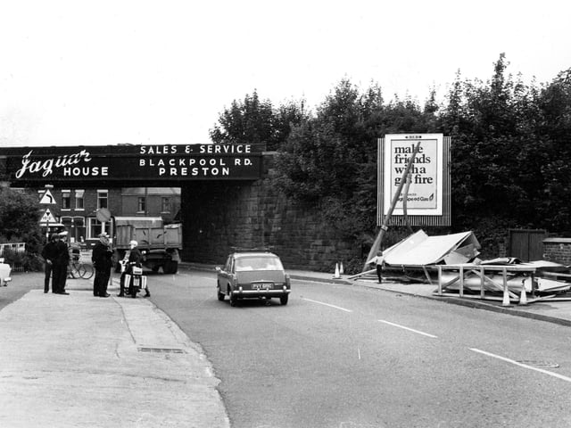
What is going on in this image showing the old railway bridge at Leyland Road, Penwortham, is anyone's guess. The image was taken in the 60s before the dangerous bridge was dismantled - anyone remember this event? Photo: Archive