



The now sprawling township of Penwortham has a long history, its existence being first recorded in the Domesday Book.
And at one time the village developed in two separate parts, Lower Penwortham, by the 18th century bridge, and Higher Penwortham, round the parish church of St Mary and the priory.
Nowadays, however, the whole area simply falls under the blanket name of Penwortham, though some of the older generation among us still refer to it as Lower and Higher Penwortham. Here you can see the changing face of the town from the 30s right the way up to the 70s.
17. Penwortham past
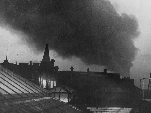
This dramatic image from 1964 shows a huge pall of smoke from the Ribble Power Station at Penwortham, drifting slowly over the smokeless zones of Preston. But local residents were reassured the smoke wasn't as bad as it looks, being of the 'white' variety without the harmful carbon deposits contained in black smoke. The reason for the accumulation of smoke was the weather - a tendency to fog and no wind to disperse it Photo: Archive
18. Penwortham past
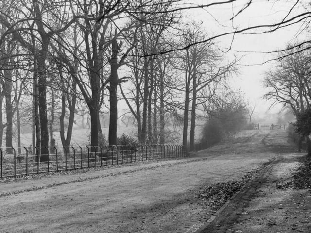
Beyond the gate in the distance of this picture from 1960 is the site of the proposed new burial ground off Hill Road, Penwortham Photo: Archive
19. Penwortham past
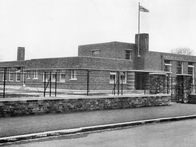
This building should be familiar to many who lived in Penwortham - it is Penwortham Primary School on Crookings Lane - shown here in 1940 Photo: Archive
20. Penwortham past
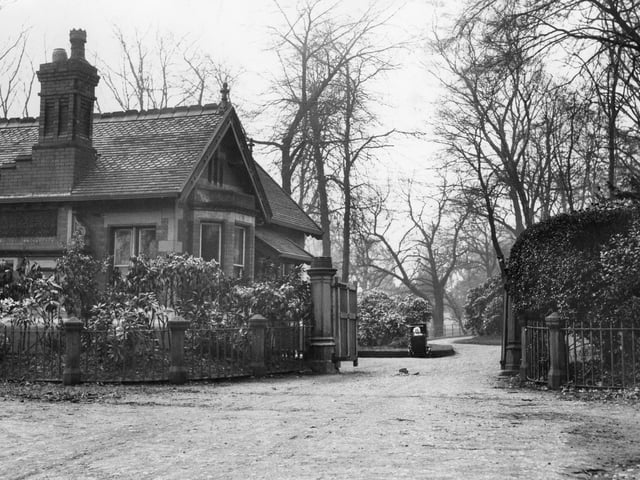
This building, pictured in 1938, is the gate-house for the original mansion on what is now Hurst Grange Park. The mansion was built in 1850 by barrister William Adam Hulton and his family. This lodge was added around 1890, but the main house was demolished in 1938. The former estate of Hurst Grange Mansion is now an attractive landscape of trees, ponds and wildflower meadows Photo: Archive