



The now sprawling township of Penwortham has a long history, its existence being first recorded in the Domesday Book.
And at one time the village developed in two separate parts, Lower Penwortham, by the 18th century bridge, and Higher Penwortham, round the parish church of St Mary and the priory.
Nowadays, however, the whole area simply falls under the blanket name of Penwortham, though some of the older generation among us still refer to it as Lower and Higher Penwortham. Here you can see the changing face of the town from the 30s right the way up to the 70s.
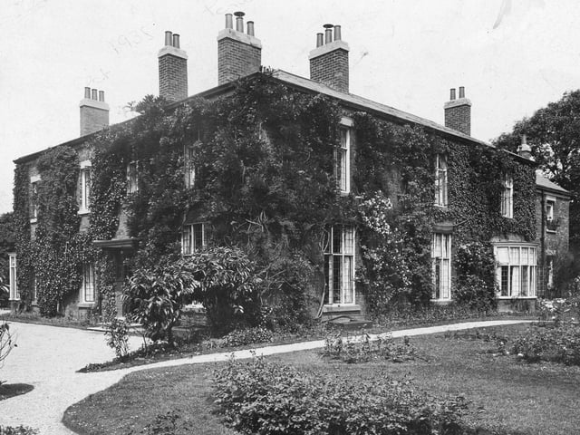
5. Penwortam past
The Oaks was a large Grecian style villa built in 1837 for John Cooper, a Preston cotton magnate. The house stood on a site off Hill Road, but was accessed by a long drive which joined Valley Road almost at the point where it opened into what is now Leyland Road. The Oaks was demolished in the 1920s and the land used for rebuilding but there is one survivor – an old red brick kitchen garden wall. You will find this in Hill Road, almost opposite Greyfriars Drive Photo: Archive
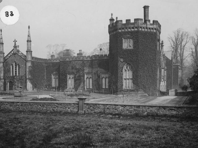
6. Penwortham past
Penwortham Priory, which was demolished in 1925 when the phenomenal housing development took place in Penwortham, and where over 16,000 people live. The old building lives on by street names at Penwortham - such as Priory Lane and Monks Walk, near where the Priory once stood, and even a Bishopsway, off the more distant Pope Lanen Photo: Archive
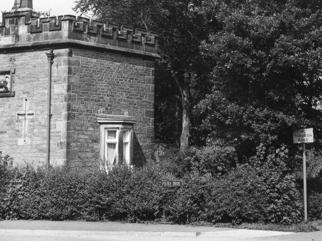
7. Penwortham past
Not strictly Penwortham as this image was taken in Hutton in 1973. Penwortham Lodge was removed to Hutton when a new housing development was built in the area where it once resided as part of the Penwortham Priory estate Photo: Archive
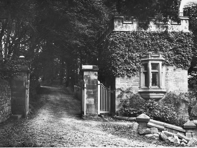
8. Penwortham past
This image of Priory Lodge was probably taken in around 1911 before it was removed to Hutton in 1912. I would love to know what happened to the brick wall in front of the building... Photo: Archive