

The now sprawling township of Penwortham has a long history, its existence being first recorded in the Domesday Book.
And at one time the village developed in two separate parts, Lower Penwortham, by the 18th century bridge, and Higher Penwortham, round the parish church of St Mary and the priory.
Nowadays, however, the whole area simply falls under the blanket name of Penwortham, though some of the older generation among us still refer to it as Lower and Higher Penwortham. Here you can see the changing face of the town from the 30s right the way up to the 70s.
1. Penwortham past
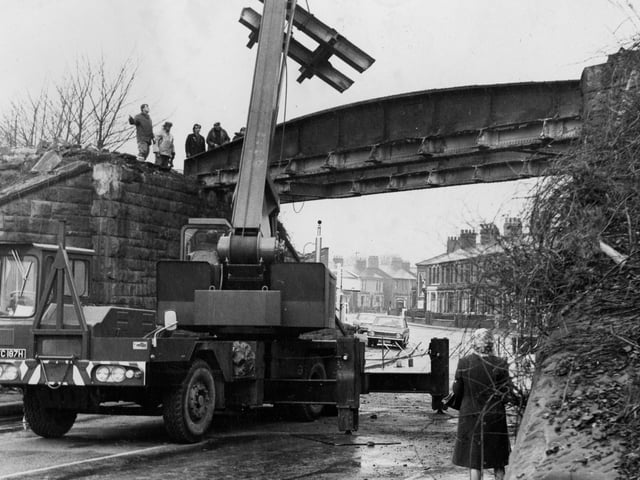
A demolition team gets to work on the old railway bridge on Leyland Road. Cranes swing pieces of heavy girder clear as the metal span was cut into sections for easier handling. A lack of safety helmets and standards in 1970 is clearly demonstrated in this image! Photo: Archive
2. Penwortham past
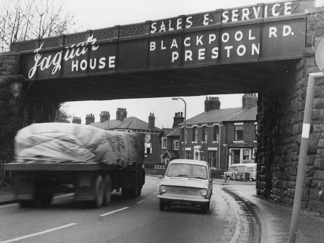
A fantastic picture of the old railway bridge across Leyland Road in Penwortham. The bridge was dubbed the 'killer bridge' by local residents and was later dismantled in 1970 following a campaign by the Lancashire Evening Post and those concerned with the safety of the structure Photo: Archive
3. Penwortham past
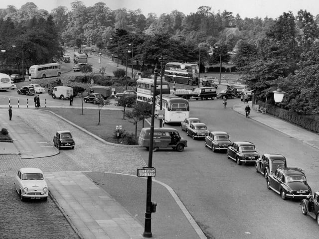
This fabulous image from 1957 shows that some things never change. Here we see a traffic queue on the old Penwortham roundabout. If it weren't for the snaking line of cars and buses you would be able to see just how picturesque this area is Photo: Archive
4. Penwortham past
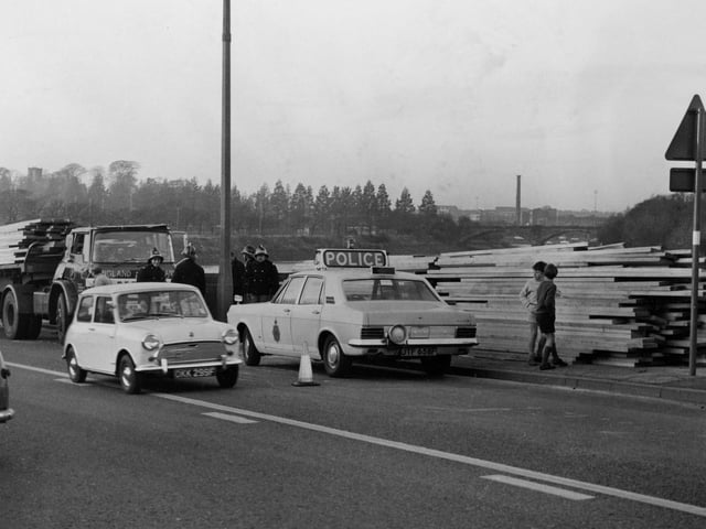
All neatly stacked up at the side of the road is a huge transport of wood which was left strewn over Leyland Road in Penwortham. Traffic was held up by police road blocks during the incident in 1962 Photo: Archive