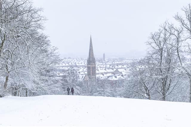
These are the chances of snow across the UK this week as temperatures drop


Temperatures this week have dropped, with parts of the UK already experiencing wintry conditions and the Met Office having issued numerous weather warnings for snow and ice over the past few days.
But is snow set to hit as February approaches?
Here’s this week’s weather forecast.


Some areas of the UK are set to see wintry conditions on Tuesday (28 Jan), which can typically include colder temperatures, frost and snow. However, these wintry conditions will mainly hit higher ground.
Other areas of the UK will remain dry, but cold.
Advertisement
Hide AdAdvertisement
Hide AdThe Met Office explains that Tuesday (28 Jan) is set to see “icy stretches” in the north, “with wintry showers continuing for western and northern areas, mainly for high ground.”
However, eastern parts of the country will stay mostly dry, away from the far northeast, and it will be windy and cold.
Tuesday evening will see showers continuing for western and northern parts, though these will ease from the southwest overnight, with “wintriness increasingly for high ground in the northwest,” according to the Met Office. It will remain cold and windy.
Wednesday (29 Jan) will begin with showers in the far north, but it will be mostly dry elsewhere.
Advertisement
Hide AdAdvertisement
Hide AdConditions are expected to become cloudier from the west, with some rain developing for western areas, particularly western Scotland. However, it will be warmer than Tuesday.
The Met Office UK Outlook for Thursday to Saturday (30 Jan to 1 Feb) explains that the weather will remain “unsettled, with spells of wind and rain at times, heaviest for northwestern areas.
“Often drier across southeastern areas. Mild generally, locally very mild on Friday.”
Temperatures set to drop this week
Northern Ireland is set to see minimum temperatures of 1C this week, with parts of Scotland experiencing temperatures of 2C and some areas of Yorkshire dipping to 0C.
Advertisement
Hide AdAdvertisement
Hide AdThe North West, the North East and London and the South East will all see minimum temperatures of 0C.
Conditions are expected to become cloudier from the west, with some rain developing for western areas, particularly western Scotland (Photo: Shutterstock)
Will snow hit in February 2020?
Parts of Scotland, including Glasgow, have already seen quite a large amount of snow, with part of the M74 being shut for a time overnight on Tuesday (27 Jan).
However, as February approaches temperatures are set to become milder, and conditions more settled, with no further snow currently on the horizon, according to the Met Office UK outlook.
Looking further ahead
Advertisement
Hide AdAdvertisement
Hide AdLooking further ahead, the Met Office UK outlook for Saturday 1 to Monday 10 February explains that the weather will be “often windy with outbreaks of rain and showers for all areas at the start of this period, with temperatures on the mild side of the seasonal average.”
As the first full week of February approaches, it looks most likely that the UK will see “a gradual trend towards more settled conditions, particularly in the south, and there is a chance that these will extend across the whole country at times,” adds the Met Office.
However, overnight fog and frosts are likely to accompany these more settled conditions, with light winds and temperatures likely to be nearer to the average for the time of year.
The far north, and particularly north west, are more likely to remain more changeable or unsettled, with further spells of wind and rain.