
When snow will hit Lancashire today as Met Office issues 12-hour weather warning

A yellow weather warning for snow has been issued for parts of Lancashire, with forecasters warning of potential travel disruption from Thursday afternoon into Friday morning.
The Met Office alert mainly covers East Lancashire, including Burnley and Bacup, and runs from 3pm today until 3am tomorrow (Friday, February 6).
Rain moving across the region this afternoon is expected to increasingly turn to snow over higher ground through the evening, with wintry conditions continuing overnight.
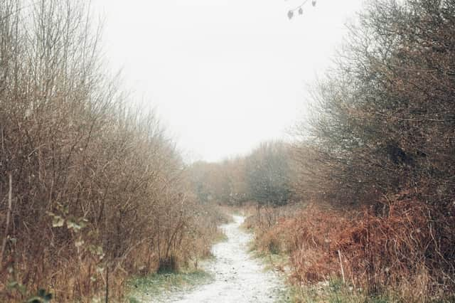

Drivers and rail passengers are being warned to expect longer journey times, with some roads and railways likely to be affected as snow settles on hills.
A spokesman for the Met Office said: “Rain moving north across England today is expected to increasingly turn to snow over higher ground through the afternoon and evening.
“The snow will continue overnight and into Friday morning, although the altitude at which snow settles should steadily rise above that of most major trans-Pennine routes during the early hours of Friday.
“While some sleet or snow is possible to lower levels for a time this evening, accumulating snow is mostly likely above 250 to 300m with up to 5cm possible. Much of this melting during Friday morning after the warning ends. Some places above 500m may see 5-15cm.”
North West forecast
The wider North West is set for a cold and unsettled spell over the next few days.
Thursday will be widely cloudy as patchy rain spreads northwards, turning heavy at times, particularly over inland hills where snow is likely later in the day.
Brisk easterly winds will make it feel colder, with a maximum temperature of around 6C.
Further rain and hill snow is expected tonight, especially over the Pennines, with some drier interludes developing further west.
It will remain cold and windy overnight, with temperatures dipping to around 2C.
Friday will stay mostly cloudy with spells of rain and some hill snow, increasingly confined to the northern Pennines.
While not quite as cold as Thursday, it will remain breezy, with highs of about 7C.
Looking ahead to the weekend and Monday, conditions should turn somewhat drier, although further spells of showery rain are possible.
There will be occasional brighter spells, with temperatures returning closer to average.