
'Sleet and snow showers' to hit North West today says Met Office in latest weather forecast

The Met Office says sleet and snow is likely to hit the North West today, with the forecaster issuing a 15-hour weather warning for the region.
It says a yellow weather warning for parts of the region will be in place from 6pm this evening until 9am tomorrow morning.
Lancashire is expected to be spared the worst of the weather, but Burnley and those near the border with West Yorkshire and on higher ground could see some snow.
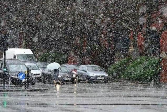

What can we expect?
According to the Met Office, we can expect outbreaks of rain, sleet and snow moving over northern England on Tuesday evening and Wednesday morning.
Snow accumulations, in the order of 1-3 cm will mainly occur above around 200 metres, though the odd cm is possible at lower elevations.
There is also a chance of transient freezing rain over higher ground and though the odds of this occurring in any one location is small, but would increase the ice risk nonetheless.
Sleet and snow will clear from the south through Wednesday morning.

Take care
- Some roads and railways likely to be affected with longer journey times by road, bus and train services
- Some injuries from slips and falls on icy surfaces
- Probably some icy patches on some untreated roads, pavements and cycle paths