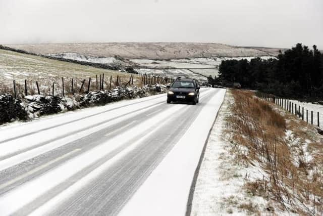
Latest Met Office forecast says snow could fall on Lancashire's hills and moorland this week
and live on Freeview channel 276
After a mild start to the New Year, the forecaster says the weather is likely to turn colder this week with max temperatures of just 5°C in Preston on Tuesday (January 4).
It means we could see a dusting of snow atop Lancashire' s hills and moorland in the coming days as rain and freezing temps clash over higher ground.
Advertisement
Hide AdAdvertisement
Hide AdSo, what can we expect the weather to be like across the county over the next few days?


Today:
A few showers to start, ahead of a band of rain edging down from the north of the county through the day, reaching all but southernmost areas of Lancashire by the end of the afternoon.
Still on the windy side for many. Maximum temperature 10 °C.
Tonight:
Rain continues to move south and with the wind swinging around to the north, introducing colder air, there is an increasing likelihood of rain turning to snow over the hills. Minimum temperature -1 °C.
Tuesday:
Advertisement
Hide AdAdvertisement
Hide AdAny residual overnight wet weather soon clearing to the south. Thereafter much brighter, but with coastal showers. Feeling much colder than of late in a strong northerly wind. Maximum temperature 5 °C.
Outlook for Wednesday to Friday:
A widespread frost to start Wednesday, then mainly dry and bright. Rain and hill snow sweeping east on Thursday. Cold and windy on Friday with blustery showers, wintry at times.
Comment Guidelines
National World encourages reader discussion on our stories. User feedback, insights and back-and-forth exchanges add a rich layer of context to reporting. Please review our Community Guidelines before commenting.