
Lancashire weather: Met Office predicts rain before warmer conditions return

The Met Office predicts mixed weather for Lancashire with potential El Niño effects this summer.
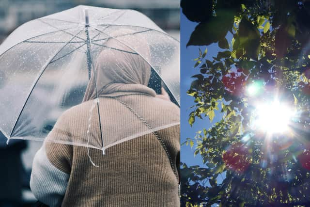
Over the last fortnight, the Lancashire weather pendulum has swung wildly between clear blue skies and highs of 30C, and the much more familiar cloudy, cool days seen more recently.
Now, with talk of a new El Niño event between July and August, the question of whether warmer weather is on the way is very much on everyone’s lips.

What is an El Niño event?
An El Niño event is a naturally occurring climate phenomenon, causing warmer than average sea surface temperatures, which can significantly impact global temperatures.
While the potential effects of El Niño are still being debated, here’s a look at the immediate weather picture in Lancashire.
When will the sunshine return to Lancashire?
According to weather experts at the Met Office, the region is expected to experience “spells of persistent rain” on Wednesday, June 3, with sunny spells and showers expected on Thursday, June 4, while temperatures remain steady at 17C.
Changeable conditions are expected through to Sunday, with temperatures “close to or slightly below normal”.
Will the weather improve in June and July?
The long range weather forecast does not hold out much hope of a quick shift in Lancashire’s weather fortunes, with the second week of June seeing Atlantic frontal systems bringing more “showers or long spells of rain” to the county.
However, as mid June arrives, periods of higher pressure and more settled weather are expected.
Towards the end of the month, drier conditions are forecast, although some showers and spells of rain should still be expected.
Essential breaking Lancashire news - sign up for our LP newsletter today
A post via the Met Office website forcasting early June said: “Changeable early in this period with Atlantic frontal systems moving across the UK. These will bring showers or longer spells of rain at times, with wettest conditions in the northwest, drier in the southeast.
“Strong winds may affect parts of the UK at times, especially the northwest. Later in the period, higher pressure and more settled conditions may begin to become more prevalent, especially in the south. Temperatures are likely to be near normal overall.
Looking ahead to late June and early July, the post continued: “The start of the period is likely to be relatively settled, with high pressure in the vicinity of the UK bringing drier conditions to most parts of the UK. However some showers or spells of rain are still possible.
“Winds will mostly be light with temperatures probably above normal. Towards the end of June, low pressure may begin to have more of an influence, especially across the south where heavy showers and thunderstorms become more probable. It may also become hot in parts of the south.”