
Lancashire faces more snow and ice as Storm Goretti triggers new weather warnings - what you need to know

Parts of Lancashire are facing two separate periods of snow and ice over the coming days, with travel disruption, icy roads and possible power issues all warned for by the Met Office.
Forecasters say the impacts will vary sharply depending on location and elevation, with higher ground most at risk - and a second warning already in place for Sunday.
First warning: snow and ice already affecting parts of Lancashire
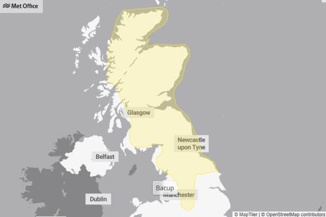
A yellow warning for snow and ice is currently in force for areas including Bacup and locations close to Burnley.
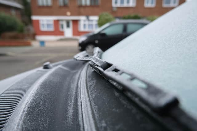

The warning runs from midday today (Friday, January 9) until 3pm on Saturday, with wintry showers expected to move inland through the afternoon, evening and overnight.
The Met Office says not all areas will see snow, but scattered wintry showers could lead to:
- Snow accumulations of 2–5cm on hills above 100 metres
- A more widespread risk of ice, especially overnight
- Icy patches on untreated roads, pavements and cycle paths
Road and rail delays are possible, along with an increased risk of slips and falls.
Second warning issued for Sunday
A second yellow weather warning has been issued for Sunday, January 11, covering Burnley, Bacup and Clitheroe.
This warning is in force from 2am until 3pm on Sunday, as a band of snow is expected to move across northern England.
Forecasters say:
- 2–5cm of snow is likely in many places
- 10–20cm could build up above 200 metres
- Strong winds may cause drifting snow
Conditions may turn icy, with a mix of rain, sleet and snow later in the day
Possible impacts include road closures, delayed or cancelled bus and train services, stranded vehicles and power cuts in some areas.
Storm Goretti: what’s next?
The warnings come as the influence of Storm Goretti begins to ease, following a period of disruptive weather across the UK.
While conditions are expected to briefly improve on Saturday, the Met Office says this calmer spell will be short-lived, with another front arriving from the west on Sunday bringing further snow to northern England.
Met Office Chief Forecaster Steve Willington said snow falling in areas already affected could lead to ongoing disruption, particularly on higher routes.
He said: “A further 2-5cm of snow is possible to accumulate at low levels within the warning area on Sunday, with 10-20cm possible over higher ground.
“With much of this falling in areas that have already seen severe snowfall, ongoing disruption is likely.
“Those in central and southern England and Wales will see this fall as rain, in what will be a wet Sunday for many.”
What should residents do?
The Met Office is urging people to:
- Plan journeys carefully and allow extra time
- Check road, bus and train updates before travelling
- Take care on icy pavements and cycle paths
- Carry essentials if driving, including warm clothing, food, water and a phone charger
- Stay up to date with forecasts, as warnings may change
Forecasters also warn that melting snow combined with rain could increase flood risk in the days ahead.
Looking ahead
Temperatures are expected to return closer to average next week, but further unsettled weather — including rain and strong winds — is possible.
For now, residents across Lancashire are being advised to prepare for rapidly changing winter conditions as the weekend approaches.