Weekend walk: Rivington


Quiz question: In what field did Thomas Hawksley rise to prominence? Answer: Water engineering. Why is it that water engineers seem so invisible outside the water engineers’ fan club? Yet their contribution to the well-being of the nation was as significant as the development of medical science. By the 1840s it was beginning to be acknowledged that the inadequate supply of water to the growing towns and cities of the UK may have been responsible for their high mortality rates. Typhus and cholera epidemics killed urban dwellers in their thousands. Manchester and Liverpool had to look far afield to secure water collection and supply – upland areas that had high rainfall – the Pennines, the Lake District and North Wales. The Rivington Pike scheme was under the direction of Thomas Hawksley (1807 – 1893) who designed a chain of reservoirs nestling below the West Pennine Moors to supply Chorley (after all it was their water in the first place) and Liverpool. Despite their highly practical purpose, the area – an artificial lake district – has become a magnet for visitors, especially walkers. We put up statues for admirals and field marshals – isn’t it about time we honour our water engineers?
WALK FACTS
Start: Rivington Great House Barn BL6 7SB. Confusingly there are two Rivington Barns – Rivington Hall Barn which is set well away from the road to the east of Rivington Lane and the Great House Barn which is on Rivington Lane. I mention this to alert walking group leaders arranging a meeting point. Last month the Dotcom walkers seemed to be dispersed over a wide area at the RV time when we checked the route out.
Distance: 7 miles
Time: 3 – 4 hours
Grade: Mainly easy
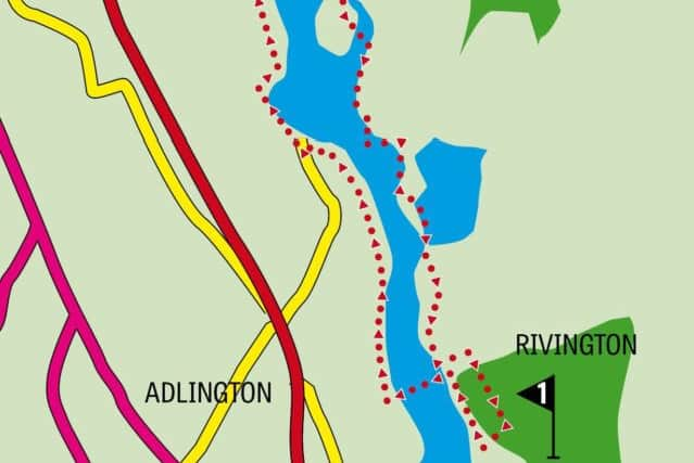
Maps: OS Explorer 287 West Pennine Moors
DIRECTIONS
Advertisement
Hide AdAdvertisement
Hide Ad1.From the car park behind the barn, tea room and information centre take a track into woodland passing the ‘Go Ape’ office/hut and soon after branching right on a course parallel to Rivington Lower Reservoir. This will take you to Horrobin Lane close to the primary school. Turn left and cross the causeway separating the Lower and Upper Reservoirs. But for this feature – necessary to ensure there was convenient access from Chorley to the village – there would be just one reservoir. At the far end in front of Horrobin Cottage turn right onto a service road (Horrobin Cottage was built as a waterman’s residence – note the symbol of the Liver Bird on the chimney breast). Keep on the road as it passes a drive to a house on the left and crosses an overflow channel to bring you in another half mile to Knowles Lane. To the right the causeway divides Anglezarke Reservoir from Upper Rivington Reservoir. Cross the road to a wooden kissing gate and through it keep ahead on a path leading alongside a wall to the right which encloses a slither of woodland. Further along the wall is replaced by a fence with a more open view of the reservoir. Always with the fence on your right follow the side of a large embankment until you reach a narrow lane. Turn right and continue passing two farms on the left turn right just beyond a corner of the embankment onto Kay’s Farm Drive. As you reach the farm turn left onto an enclosed track that is a public bridleway (waymarked with blue arrows). Keep on this for half a mile and turn right through a wooden kissing gate onto a public footpath leading to a metal gate on the edge of woods. Take care down the slope as after wet weather it will be slippery. Also a fallen tree makes for an awkward though insurmountable obstacle. The path descends close to the water’s edge not far from Moor Road at the northern end of Anglezarke Reservoir and the half-way point of the walk.
2. Turn right on the lane and follow it past a handsome waterman’s cottage – this one in mock Tudor style – to cross a watercourse known as the Goit (a goit is a rather archaic name for a channel but why this one should be elevated with the use of the definite article is not known to this writer). After it turn right through a gate into woods. The path leads upwards on a stepped slope and after levelling out continues to a gate leading into close cropped pastureland. Here you’ll admire a fine view across Anglezarke Reservoir – see if you don’t! Keep on the path to re-enter woods on a course that takes you away from the reservoir as the route crosses the neck of a peninsular below High Bullough Reservoir. Keep on the main track as it climbs to High Bullough Reservoir which use to be known as Chorley Reservoir and pre-existed Thomas Hawksley’s scheme The track descends through woods to water level of the main reservoir and continues to meet Knowsley Lane. Walk along this until you almost reach the causeway then take a path that switches back to climb alongside the most obvious engineering feature encountered thus far – the giant’s staircase that is an overflow from the Yarrow Reservoir. The path climbs up to the embankment below the reservoir. Here turn right on a broad path that gently descends a junction of tracks. Turn right and in 600yds reach Horrobin Lane close to the causeway. From here retrace your outward steps.
- Bob’s walks are now available as digital guides on the iFootpath website and App (see iFootpath.com).