More snow expected across the UK thanks to Storm Darcy - the forecast near you


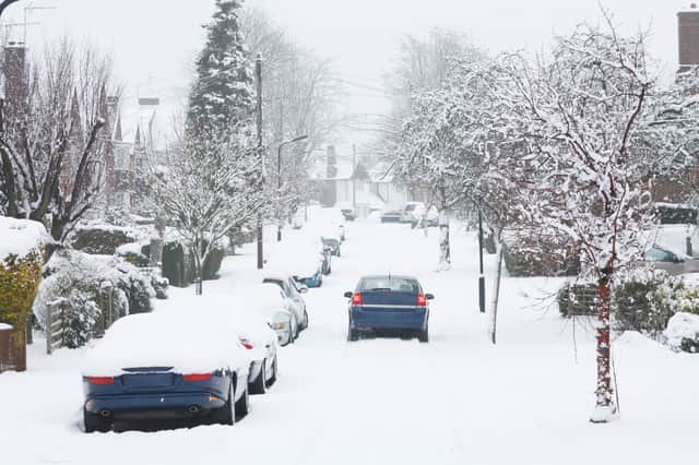
More heavy snow is set to continue hitting the UK as Storm Darcy brings “bitterly cold” conditions across parts of the country.
The east and south east of England have amber weather warnings for snow, lasting until 2pm on Monday (8 Feb).
Advertisement
Hide AdAdvertisement
Hide AdCentral, Tayside & Fife have an amber warning for snow, lasting until 9pm on Tuesday (9 Feb)
There are also a number of Met Office warnings for the East Midlands, Yorkshire and Humber, and the east coast of Scotland.
Strong easterly winds originating from Ukraine and the Black Sea are bringing temperatures as low as -13C to some areas.
Here’s the latest weather forecast near you.
East and south east England
The east and south east of England currently have an amber weather warning issued by the Met Office. The warning is in place until midday today (8 Feb). The areas affected included Essex, Norfolk, Southend-on-Sea, Suffolk, Thurrock, Kent and Medway.
Advertisement
Hide AdAdvertisement
Hide AdThe Met Office warns of snow accumulations of five to 10 cm, with some areas getting 15 to 20cm. There will be very strong easterly winds with gusts of 40 to 45mph inland. Towards the end of the day, the snow will turn more intermittent before gradually easing.
Amber warnings also mean disruption to gas, telephone or mobile phone coverage is likely.
East Midlands and Yorkshire and Humber
The East Midlands, Yorkshire and the Humber have an amber warning in place until 2pm on Monday. The areas affected include Derby, Derbyshire, Lincolnshire, Nottingham, Nottinghamshire, North East Lincolnshire, North Lincolnshire and South Yorkshire.
The Met Office says that snow showers will become frequent across the area in the morning. Snow drifts will occur from strong northeasterly winds. There will be snow accumulations of possibly as much as 10 to 15cm.
Central, Tayside & Fife, Grampians, Strathclyde and the Borders
Advertisement
Hide AdAdvertisement
Hide AdCentral Scotland, Tayside and Fife have a amber snow warning in place from 3 am to 9pm on Tuesday (9 Feb). The areas affected include Angus, Clackmannanshire, Dundee, Falkirk, Fife, Perth and Kinross and Stirling.
The Met Office predicts snow showers through Monday night and Tuesday. This will lead to large accumulations building up in parts of central Scotland. Across the area, snow is expected to lie fairly widely with areas of 10-20cm. There is a chance of 25 cm in one or two spots of the area.
London and South East England
London and South East England has a yellow snow warning in place until midnight on Wednesday. Areas affected include Bracknell Forest, Brighton and Hove, Buckinghamshire, Sussex, Greater London, Portsmouth, Reading, Surrey, Southampton and Oxfordshire.
Though some areas will stay dry, snow is probable. Expect freezing conditions overnight, and melting snow during the day.