
Will it snow in Lancashire as Met Office issues warnings and temperatures drop across the North West

Lancashire is bracing for a chilly evening with sleet forecast in several areas after the Met Office issued a snow warning that comes close to the county border.
A yellow weather warning for snow is in force from 4pm today (Wednesday, February 18) until 6am tomorrow (Thursday, February 19), covering parts of Wales, central England and the southern Pennines.
While Lancashire itself is not included, the warning area stretches close to the county boundary near Bacup and Burnley, raising questions about whether snow could spill over.
The Met Office says a period of rain and snow could bring disruption in affected areas, particularly at higher ground.
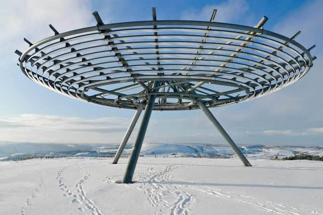

A spokesman said: “Whilst there is some uncertainty in the details, there is the potential for an area of rain and snow to affect parts of Wales, central England and into the southern Pennines during Wednesday evening and overnight into Thursday.
“2-5 cm of snow could accumulate quite widely above 150-200 metres, with perhaps as much as 10-15 cm above 250-300 metres in mid and southeast Wales, as well as Herefordshire, Shropshire and the southern Pennines. Some small accumulations of snow, typically less than 2 cm, are possible to lower elevations, especially from later Wednesday evening into the early hours of Thursday morning.
“Strong east to northeasterly winds will accompany the snow, which could exacerbate impacts in places.”
Although Lancashire is outside the official warning zone, forecasters say there is still a chance of wintry showers in the south of the county tonight.
In Preston, sleet showers are expected between 5pm and 11pm, with temperatures peaking at 5C and falling to around 2C overnight.
Blackpool is forecast to see sleet between 6pm and 9pm, with highs of 6C and lows of 3C.
Across the wider North West, today is expected to remain mostly dry but cloudy, with a brisk and chilly southeasterly wind.
The Met Office says southern parts of the region could see patchy rain later, with a small chance of snow overnight.
Clearer spells further north may allow frost to form as temperatures dip to around freezing.
If snow does develop within the warning area, the Met Office warns there is a small chance of travel disruption, including delays on roads and public transport.
Some rural communities could become temporarily cut off, and there is a slight risk of power cuts and disruption to mobile phone coverage.
Thursday should see any early rain or snow in the south gradually fading, with brighter conditions spreading from the northwest.
It will remain cold, though winds are expected to ease, with temperatures reaching around 6C.
Looking ahead to the weekend, the forecast turns milder but more unsettled.
Overnight frost on Friday morning will clear, followed by a spell of wetter and windier weather through Saturday and Sunday.
For Lancashire residents hoping for snowfall, the main risk appears confined to higher ground near the southern Pennines, while most low-lying areas are more likely to see cold rain or sleet.