
Will it snow in Lancashire as blizzard warnings grow - and could the Northern Lights appear

Lancashire is set for a turbulent spell of weather this week as forecasters warn of strengthening winds, bands of heavy rain and a growing chance of colder conditions later – with even the possibility of snow and a rare glimpse of the Northern Lights.
The Met Office says Atlantic weather systems will dominate in the short term, keeping conditions unsettled and often windy, before a colder pattern potentially develops from the east as we move toward the end of January.
Wind and rain warnings as conditions turn unsettled
Weather fronts stalled across the UK are bringing cloudy skies and spells of rain to western and central areas, including parts of Lancashire.
While some brighter spells are expected at times, temperatures may feel chilly where skies remain overcast and damp.

Forecasters have issued a yellow warning for wind on Tuesday as gusts strengthen, particularly in exposed areas.
While the strongest winds are expected further south and west, Lancashire is still likely to see blustery conditions and periods of rain moving in later in the day.
What the week looks like for Lancashire
Tuesday is expected to be largely dry at first, with any lingering hill fog clearing and brighter spells developing.
However, winds will increase through the day, with rain arriving later. Temperatures are forecast to peak at around 9C.
Wednesday should start mostly dry with some sunshine, but further rain will move in later.
More outbreaks of rain are forecast on Thursday and Friday, with windy conditions continuing, though it should remain relatively mild for most.
By Friday, overnight temperatures could dip closer to freezing in rural parts of the county, raising the possibility of frost.
Could colder air bring snow later this month?
As the weekend approaches, forecasters say the UK will sit on a battleground between milder Atlantic air pushing in from the west and colder, drier conditions trying to take hold from the east.
While much of the country is expected to stay fairly mild at first, there is growing uncertainty over how quickly colder air could spread.
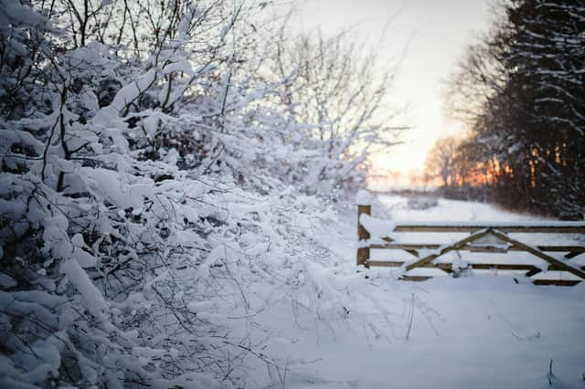
If it does, temperatures could fall below average into next week, increasing the risk of sleet or snow - particularly on higher ground in northern England.
At this stage, widespread snowfall in Lancashire is far from guaranteed, but forecasters say the risk is there if colder air wins out.
Northern Lights could be visible over the North
Adding to the unusual forecast is the chance of seeing the Northern Lights.
A fast-moving burst of charged particles from the Sun is expected to reach Earth overnight or early Tuesday, potentially triggering geomagnetic activity.
This could allow aurora sightings across northern England, including Lancashire, if the timing coincides with darkness and skies are clear.
Any displays are most likely late tonight or Tuesday night, fading as the week goes on.
What happens next
Forecasters stress that confidence drops beyond the next few days, with weather models still disagreeing over just how cold it will get.
While some predict sharp drops in temperature, others suggest nothing too extreme.
For Lancashire residents, that means keeping an eye on forecasts, especially as wind, rain and the outside chance of snow all remain on the table as January heads toward its final week.