
When snow and sleet will hit East Lancashire as Met Office issues 17-hour weather warning

A yellow weather warning for snow and ice has been issued for parts of East Lancashire, with forecasters warning of icy surfaces and possible travel disruption overnight.
The Met Office warning runs from 7pm tonight (Thursday, February 12) until midday on Friday and covers areas including Burnley, Clitheroe and Bacup.
What’s happening?
Outbreaks of rain are expected to turn to sleet and snow through Thursday evening as colder air moves in.
Snow is likely to fall first over higher hills before reaching lower levels later tonight.
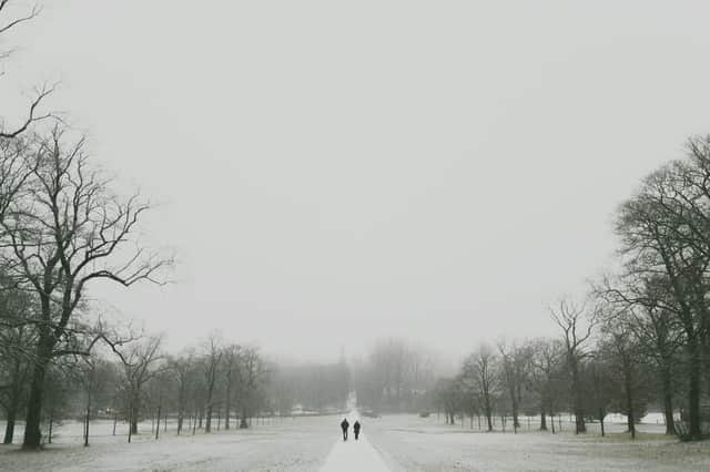

According to the Met Office, settling snow will mainly affect high ground above 200 metres, where 2–5cm is possible.
Above 300 metres, some locations could see up to 10cm.
Rain and snow are forecast to clear south during the early hours of Friday, but rapidly falling temperatures could leave untreated roads and pavements icy.
What problems could it cause?
Forecasters warn the conditions could lead to:
- Injuries from slips and falls on icy surfaces
- Icy patches on untreated roads, pavements and cycle paths
- Longer journey times on roads and rail services
Burnley and East Lancashire forecast
Sleet showers are expected between 8pm and 11pm tonight, with temperatures falling to around 1C.
There is a greater than 95% chance of light snow from midnight until around 4pm Friday, with a brief return to sleet early afternoon.
Temperatures could drop as low as -4C overnight into Friday, increasing the risk of ice.
Friday afternoon is expected to turn brighter with sunny spells, but a widespread frost is likely by evening.
What happens next?
The wider North West forecast suggests colder, unsettled weather will continue into the weekend.
Saturday is expected to be drier and brighter after a frosty start, while rain and hill snow could return on Sunday before temperatures recover.
Longer-term forecasts indicate further spells of rain, showers and occasional snow on higher ground as Atlantic weather systems dominate, with temperatures fluctuating between average and cold.
Drivers and pedestrians are being urged to take extra care overnight and allow more time for journeys.