
What the weather will be like in Lancashire as UK headlines warn of 'snow bomb'

As national headlines warn of a potential UK “snow bomb”, what does the forecast actually show for Lancashire - and could snow really be on the way?
The latest update from the Met Office suggests a more changeable picture in the short term, but with growing uncertainty later in the month.
A wet and wintry start, with a hint of snow
Lancashire is set for a return to unsettled conditions overnight on Wednesday, with cloud thickening from the west as rain spreads eastwards.
While most areas will see rain, there is a chance of snow over higher ground, particularly on the hills.
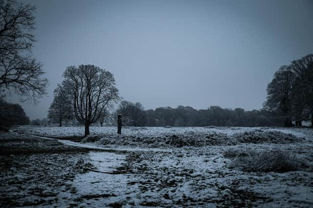

As the rain clears later in the night, skies may break to give clear spells, bringing the risk of frost and icy patches into Thursday morning.
Winds will be brisk at times, and temperatures could dip to around 0C.
Thursday brings brighter spells - but don’t pack away the coat
Thursday should start on a brighter note for many, with morning sunshine after any lingering fog or low cloud clears.
Cloud will increase again during the afternoon and there’s the odd chance of a shower.
It will feel slightly milder, with temperatures reaching around 7C, though overnight lows will stay above freezing.
Grey weekends and heavy showers ahead
Friday looks more unsettled, with occasional heavy showers moving through the county and temperatures peaking near 8C.
The weekend itself is expected to be largely dry, but far from bright.
Mist, fog and low cloud could dominate, keeping conditions grey and murky, although brief brighter spells are possible at times.
Winds will ease, and daytime temperatures will sit between 8C and 9C.
Could colder weather - and snow - still be coming?
Looking further ahead, forecasters say the UK is heading into a “battle” between Atlantic weather systems from the west and colder air pushing in from the east.
Initially, milder air is likely to win out, bringing further spells of rain - especially in western areas like Lancashire.
However, later in January the risk of colder conditions increases, and with it, the potential for snow in some parts of the country.
While confidence remains low at this stage, the Met Office says the pattern could evolve again into early February, increasing the risk of wintry hazards before temperatures potentially recover closer to average.
So while Lancashire won’t be digging out the sledges just yet, the longer-range forecast suggests winter may not be done with us.