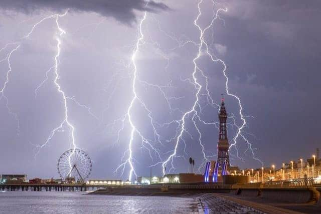
Thunderstorms and heavy rain set to hit Lancashire as yellow weather warning extended
and live on Freeview channel 276
The warning now will be in place from 10am on Friday (August 6) until 9am on Saturday (August 7).
It was initially set to end at 11.59pm on Friday.
Forecasters have warned the thundery showers will be slow moving, bringing the risk of localised flooding and difficult driving conditions.
Advertisement
Hide AdAdvertisement
Hide AdWhere flooding or lightning strikes occur, there is a chance of delays and cancellations to train and bus services
A spokesman for the Met Office said: "Rainfall totals will vary considerably and not all locations will be affected by the heaviest showers.
"However, where the showers do occur there is potential for 20-30mm of rain in a short space of time.
"[D]uring the course of the day there is a chance that some places could see as much as 80-100mm build up."


Here's what to expect:
Advertisement
Hide AdAdvertisement
Hide AdThere is a small chance that homes and businesses could be flooded quickly, with damage to some buildings from floodwater.
Spray and sudden flooding could lead to difficult driving conditions and some road closures
Where flooding or lightning strikes occur, there is a chance of delays and some cancellations to train and bus services
It is thanks to our loyal readers that we can continue to provide the trusted news, analysis and insight that matters to you.
For unlimited access to our unrivalled local reporting, you can take out a subscription HERE and help support the work of our dedicated team of reporters.
Comment Guidelines
National World encourages reader discussion on our stories. User feedback, insights and back-and-forth exchanges add a rich layer of context to reporting. Please review our Community Guidelines before commenting.