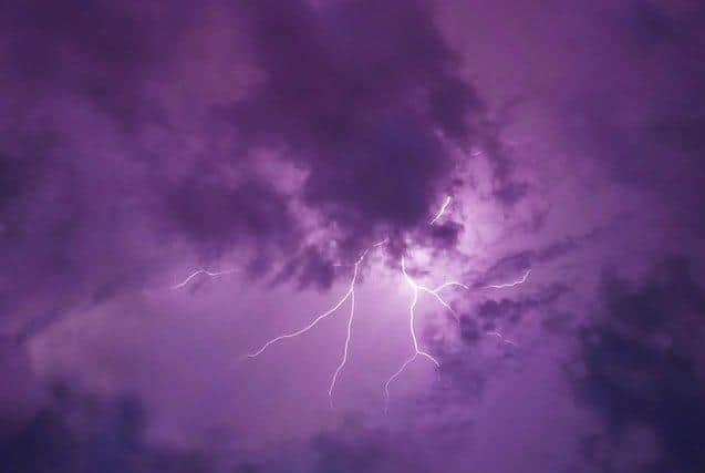
Thunderstorms and flooding set to hit Lancashire following heatwave as yellow weather warning issued
and live on Freeview channel 276
The warning will be in place from 9am tomorrow (Tuesday, July 27) until 6am on Wednesday (July 28).
Some areas could see up to 30mm of rain in around two hours, while up to 60mm of rain could fall in around three to six hours in some spots.
Advertisement
Hide AdAdvertisement
Hide AdForecasters have warned motorists that spray and sudden flooding could lead to difficult driving conditions and possibly some road closures
There is also a small chance homes and businesses could be flooded quickly, with damage to some buildings from floodwater or lightning strikes possible.
A spokesman for the Met Office said: "Heavy showers and thunderstorms are expected to develop during Tuesday across much of Wales, northern and central England.
"These will last well into the night across north Wales and north-west England in particular where they could be prolonged in places.


Advertisement
Hide AdAdvertisement
Hide Ad"Lightning and hail may pose additional hazards in a few locations."
It follows days of record-breaking temperatures which saw the Met Office issue its first ever extreme heat warning for parts of central and southern England, Wales and Northern Ireland.
Here's what to expect:
- Spray and sudden flooding could lead to difficult driving conditions and possibly some road closures
- Where flooding or lightning strikes occur, there is a chance of delays and some cancellations to train and bus services
Advertisement
Hide AdAdvertisement
Hide Ad- There is a small chance that homes and businesses could be flooded quickly, with damage to some buildings from floodwater or lightning strikes
Thanks for reading. If you value what we do and are able to support us, a digital subscription is just £1 per month for the first two months. Try us today by clicking HERE.
Comment Guidelines
National World encourages reader discussion on our stories. User feedback, insights and back-and-forth exchanges add a rich layer of context to reporting. Please review our Community Guidelines before commenting.
