Snow predicted to hit East Lancashire this week as temperatures plummet
and live on Freeview channel 276
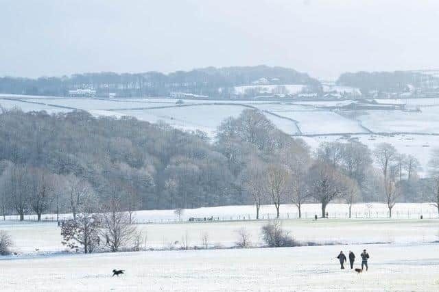
The Met Office said the country will become colder, cloudier and more unsettled from Monday (March 28), potentially bringing wintry showers to parts of Lancashire.
The change in conditions was expected to take place as the high pressure – which was responsible for last week’s mild weather – shifted out to the south, introducing colder Arctic air in from the north.
Advertisement
Hide AdAdvertisement
Hide AdMaximum temperatures were predicted to drop to single figures in many places, with some freezing temperatures overnight.
Met Office Chief Meteorologist Neil Armstrong said: “We’re going to be seeing a marked shift in the weather for the UK in the coming week as the warm weather is displaced south.
“Temperatures will drop as cold air sweeps south with single figure maxima for most places from mid-week, and bringing with it the unsettled weather that we’ll see for much of the week.
“Some clear spells are still around later in the week, with the best of any sunshine likely to be in the south later in the week.”
Advertisement
Hide AdAdvertisement
Hide AdIt was predicted Burnley would see sleet at around 7pm on Wednesday (March 30), whereas Pendle Hill would see light snow from midnight until 4pm.

In Rossendale, light snow was expected to fall from 4am until 10am, and then again at 4pm.
Snow was not predicted to hit Blackpool, Lancaster, Preston or Blackburn.
Temperatures were expected to gradually recover to near average over the weekend and into next week.