Lancashire weather: More heavy rain and strong winds set to hit county as remnants of Hurricane Nigel sweep UK
and live on Freeview channel 276
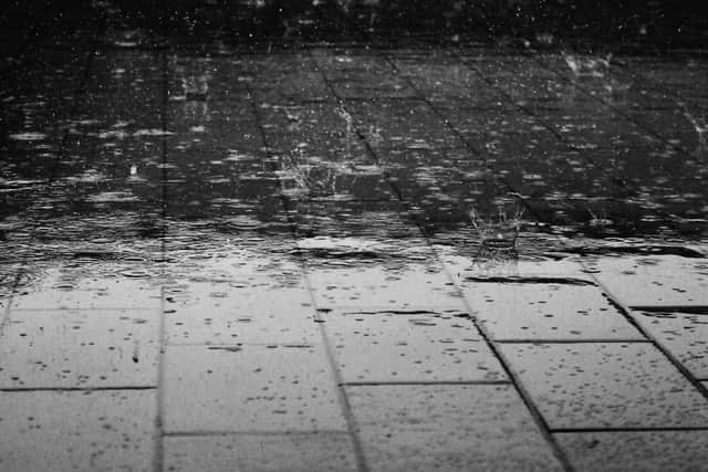
Heavy rain battered Lancashire this week, prompting the Met Office to issue a yellow weather warning that was in place until 6pm on Wednesday (September 20).
And the wet and windy weather is set to continue this week as Hurricane Nigel makes its way across the Atlantic. It is currently northeast of Bermuda.
Advertisement
Hide AdAdvertisement
Hide AdBy Friday (September 22) it is predicted Nigel will have weakened significantly – although the storm is likely to bring more wind and rain to the UK over the weekend.
The Met Office said: “On Sunday, we will start to see the influence of ex-tropical Hurricane Nigel, which will be offshore in the mid-Atlantic. These systems have a long reach.
“It will increase rainfall rates and also winds to bring unsettled weather to the UK.”
Forecasters urged residents to be prepared for weather warnings to change quickly.
Advertisement
Hide AdAdvertisement
Hide AdWhen a weather warning is issued, the Met Office recommends staying up to date with the weather in your area.


Andrew Hitchings, Flood Duty Manager at the Environment Agency, said: “As Nigel moves north over the Atlantic, it gets picked up by the jet stream and moves towards the west of the UK, whilst losing its tropical characteristics.
“The specifics may differ by the time we get to Sunday but computer models show this area of low pressure sitting to the west of the UK.
“The worst of the winds from this former hurricane aren’t expected to cross the UK, but various remnants of wind and rain swirling around that low pressure will bring a contrast to the more settled start to the weekend.”
Advertisement
Hide AdAdvertisement
Hide AdMore persistent, and at times heavy, rain is likely to influence the weather from the west by Saturday afternoon, with further rain likely on Sunday and Monday, which could bring some disruption for some through the weekend and into early next week.
“Some of this rain is likely to be quite slow moving on Sunday and Monday, with in excess of 100mm of rain possible over some of the hills as part of this event,” Aidan added.
Here is the weather forecast for the rest of the week:
Thursday (September 21)
A fresh start with a mixture of sunshine and scattered showers throughout the day.
Showers could turn heavy at times, with the odd rumble of thunder. Remaining breezy.
Maximum temperature 17C.
Outlook for Friday (September 22) to Sunday (September 24):
Often changeable with sunshine and heavy showers on Friday.
Drier on Saturday with sunnier spells, then turning unsettled with heavy rain and stronger winds on Sunday.
Feeling cool at first.