
Met Office predicts when and where first snow of winter will fall in Lancashire

We didn’t get a white Christmas, but it might be a snowy start to the New Year if the Met Office predictions are correct.
The UK is set for a cold and snowy start to 2026, according to the forecaster, with the first snowfall of the winter expected to arrive in Lancashire next week.
The Met Office says light snow and sleet is likely to fall in parts of the county around Tuesday, January 6 to Thursday, January 8.
However, BBC Weather said snow is predicted in the North West this weekend (January 3 and 4), with temperatures expected to drop as low as -4C in parts of the region.
Whether it’s the weekend or early next week, forecasters say temperatures will hover around freezing before the first snow falls overnight in areas like Ormskirk and Clitheroe. Preston shows lighter chances for snow at this stage, but there is potential for cold, snowy conditions to move in, said the Met Office.
"Cold northerly winds, initially across Scotland are now expected to become dominant across the whole UK in the first week of January," it said.
"These will bring wintry showers (often snow) to many coastlines (and areas just inland of these) that are exposed to onshore winds.”
The UK Health Security Agency has issued an Amber Cold Health Alert for the North West, which will remain in place until Monday, January 5.
Met Office deputy chief forecaster Mark Sidaway said: "It certainly looks like we are in for a taste of ‘winter’ as we welcome in the new year, initially in the north, but more widely across the UK for the first week of 2026.
"Arctic air and strong northerly winds will bring cold or very cold conditions to all parts of the UK, and it will feel especially cold in the strong winds. Widespread and locally severe frosts are expected, along with the first snow of the winter for many."
Two amber cold health alerts, due to remain in place until midday on Monday, 5 January, have been issued for two regions of England, with temperatures expected to fall to -4C.
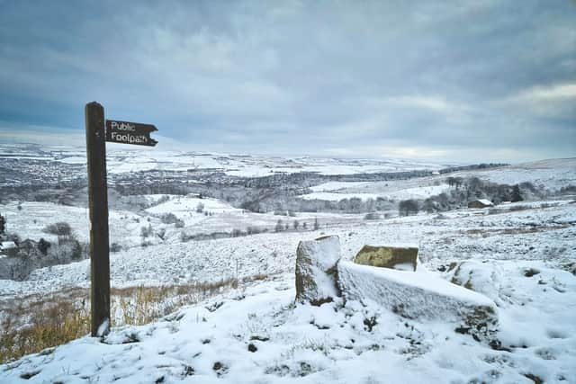

This week’weather
Today
During the afternoon, more frequent bright spells will start to appear, and skies will clear by the evening. A cold day.
Tonight
Becoming widely clear tonight with cold conditions for many areas. There will be a light to gentle north-westerly breeze. Some patchy fog is also not ruled out locally.
Wednesday
Wintry sunshine on New Year's Eve morning. As the day progresses, areas of cloud will start to drift in from the north-west, becoming widespread by the evening as it also turns breezy.
Outlook for Thursday to Saturday
New Year's Day will start cloudy and the odd spot of rain cannot be ruled out. However, it will soon clear from the north, allowing large bright spells to develop. Cold.
A risk of some sleet and snow showers overnight. Friday will start cloudy for some, but soon it will turn largely bright throughout. A dry and breezy day. Saturday will be another bright, breezy and cold day.
Expect light snow showers and sleet with chilly temperatures (Highs 2-4°C, lows near 0°C or below) and light winds, though forecasts vary slightly by location.
How far ahead can snow be forecast in the UK?
In many temperate countries such as the UK, a small amount of snow can cause all sorts of disruption. But it can also be very challenging to predict.
There are lots of factors involved in determining whether rain or snow will be falling from the sky, such as elevation, distance from the coast and precipitation intensity as explained in the above animation.