
Flood warnings and hailstones across Lancashire continue to wreak havoc as weather turns sour

Flood warnings across Lancashire continue to wreak havoc this morning as the spring weather fires most elements out.
The River Wyre at Garstang and Burrow Beck at Lancaster are covered by the warnings while alerts are in place for the Upper River Wyre at Brock, the Lower River Wyre, Lower River Lune and Conder, and the Upper River Ribble at Hodder.
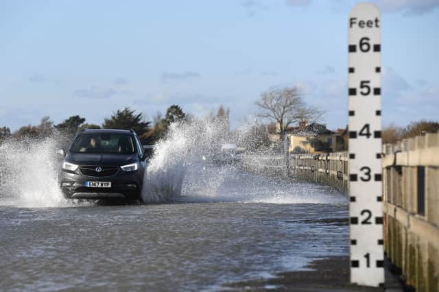

Ongoing local flooding is possible in parts of the South of England from groundwater for the next five days.
Heavy wind overnight has also brought some trees down in Blackburn with hailstones battering parts of Goosnargh and Preston this morning.
Train services between Preston and Manchester are cancelled or delayed this morning, with disruption expected until the end of the day.
In England, the Environment Agency provides three types of flood warning:
- Flood alert – flooding is possible.
- Flood warning – flooding is expected.
- Severe flood warning – flooding could be a risk to life and significant disruption to communities.
Severe flood warnings can be issued before, during or after flooding.
You should take flood warnings very seriously. The action you need to take is different for each type.
What you should do
If a flood alert is issued, you should:
- Be ready to follow your flood plan.
- Have insurance documents and any medications ready.
- Avoid walking, cycling or driving through any flood water.
- Move any livestock and farming equipment away from areas likely to flood.
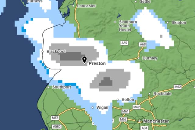
Snow forecast
Preston is bracing for snowy and hail conditions, with temperatures dropping to 0°C.
According to the latest Met Office weather map, Preston could see snowfall from around 8.30am on Wednesday (March 25). Heavier spells are expected from 9.00am, ending by midday.