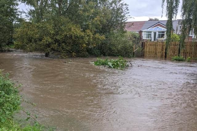
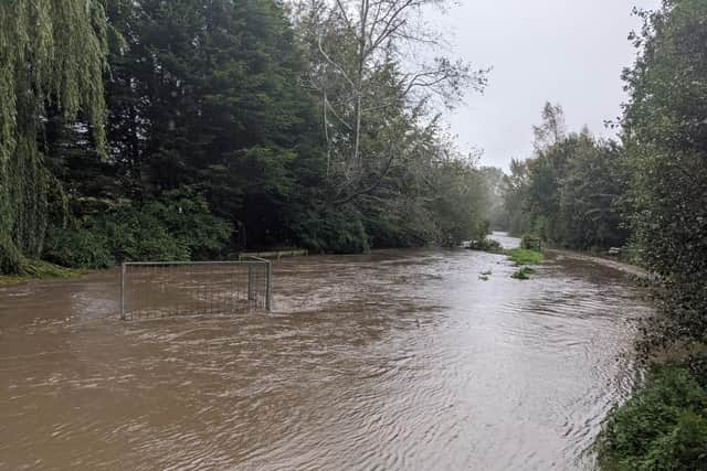
Water levels rising in Croston and other areas of Lancashire
and live on Freeview channel 276
The River Yarrow ,which runs through the village, was among several rivers carrying a flooding alert.
More severe flooding warnings were in place for the River Lostock, Shaw Brook and Bannister Brook at Leyland
Advertisement
Hide AdAdvertisement
Hide AdIn 2017, a £7 million scheme to manage flood risk for 438 properties in Croston was officially opened.

The Croston Flood Risk Management Scheme, developed by the Environment Agency in partnership with Chorley Council, Lancashire County Council and United Utilities in collaboration with the Lower Yarrow Flood Action Group, will benefits residents flooded on Boxing Day 2015.
The event affected 344 properties.
The scheme includes an upstream flood storage area on the River Yarrow and 600m earth embankment and is capable of retaining up to 1.3 million m3 of water – equivalent to 520 Olympic size swimming pools.
It reduces the flood risk for properties from five per cent to less than one per cent in any one year.
Advertisement
Hide AdAdvertisement
Hide AdMeanwhile in Leyland, the River Lostock was reported to have burst its banks.
Post reader Paul Hardwick posted pictures from the Western Drive area of Leyland.
Nearby householders were reporting water coming into their gardens.
Comment Guidelines
National World encourages reader discussion on our stories. User feedback, insights and back-and-forth exchanges add a rich layer of context to reporting. Please review our Community Guidelines before commenting.