


Lasting between one day and four months, the projects include road closures and temporary traffic lights to allow work to be completed.
Motorists are advised to avoid these areas if they can or to plan their journey to give themselves more time.
Below is a full list of the affected roads, how long the work is scheduled to last and the reason for the roadworks (ordered by start date.)
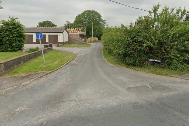
17. Green Lane, Catforth
What: Road closure Why: [Utility repair and maintenance works; install 1 x 25mm water connection When: Jan 4 -Jan 6 Photo: Google Maps
![What: Road closure
Why: Utility repair and maintenance works] shortsided disconnection of old lead supply and replace with new connection
When: Jan 4 -Jan 6](https://www.lep.co.uk/webimg/b25lY21zOjZlMWFlNzgzLTIwOTYtNDc4YS1hMGNkLTNmMDZkMmYyZDg2NjoyMWE5MDRmNi01YzAzLTQwODMtYWUyOC04ZGE2ZTY2NWQyMzM=.jpg?crop=4:3&trim=&width=640)
18. Back of Brockholes View, Preston
What: Road closure Why: Utility repair and maintenance works] shortsided disconnection of old lead supply and replace with new connection When: Jan 4 -Jan 6 Photo: Google Maps
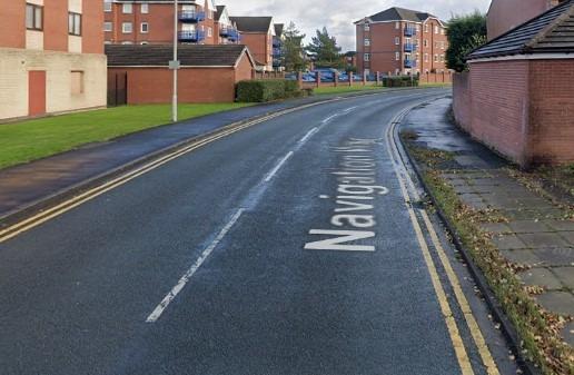
19. Navigation Way, Preston
What: Two-way signals Why: Private works under S50 licence, carried out by Dewhurst Utility Services for (input the Development) to CONNECTION OF NEW WATER MAIN TO EXISTING MAIN VIA A NEW WASH OUT CHAMBER WITHIN THE FOOTPATH AND TEMPORARY 25MM SERVICE CONNECTION. TM Two way lights to be manned between 0700 to 1900 - Works in F/W and Verge When: Jan 4 -Jan 17 Photo: Google Maps
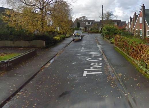
20. The Croft, Goosnargh
What: Some carriageway incursion Why: Utility repair and maintenance works; INSTALL EXTERNAL WATER METER AND BOUNDARY BOX AT DEPTH OF UNDER 1.5 METERS WITH MINIMUM DIG When: Jan 4 -Jan 6 Photo: Google Maps