Preston’s new £40m flood defence scheme to be unveiled


The Environment Agency, Lancashire County Council and partners are developing the Preston and South Ribble flood risk management scheme, aimed at lowering the flood risk for communities from Preston Riversway up towards the M6 motorway and Higher Walton.
The project, which is dependent on European funding - said not to be affected by Brexit - could protect around 3,600 residential properties as well as more than 300 businesses.
Advertisement
Hide AdAdvertisement
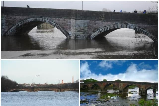
Hide AdAs part of a drop-in information session for Penwortham and Broadgate residents on Wednesday, Environment Agency staff will erect a mock-up of the height of planned flood defences either side of Penwortham Old Bridge in Riverside Road and Broadgate.
The move has been welcomed by local residents and business owners, who say they have been left fearing the worst during recent storms.
Craig Halsall, director of Pristine Car Wash and Valeting Centre in Leyland Road, said: “Last Saturday night when the river broke its banks at the Tickled Trout, I was meant to be having a family meal, but I couldn’t switch off and have a drink because I was constantly worried about going down and having to stop the place flooding.
“Luckily it didn’t happen in Penwortham, but I was sat worrying because we have a lots of electrical equipment that we’d have to pick up.”
Advertisement
Hide AdAdvertisement
Hide AdHe added: “About five years ago it did flood down here, and another garage about 200 yards away was badly affected. Then about three years ago on Boxing Day, it got to within an inch of the wall.
“It’s also having an affect on buying property in the area. I renovated a house in Swallow Avenue, quite a way from the river, and it was hard to get a mortgage because of flooding, and for the people I sold it to to get a mortgage.
“So we would welcome any steps to improve the defences around here.”
Dan Bond, Environment Agency Flood Risk Manager for Lancashire, said: “We are looking forward to sharing the latest proposals to reduce flood risk in Penwortham. We want to work really closely with the community to help reduce the impact of flooding in the future.
Advertisement
Hide AdAdvertisement
Hide Ad“We have considered options and now want to share this and listen to the feedback from the community. We will soon be starting ground investigations and have been working closely with our partners to develop the flood scheme.
“We are keen to listen to local residents before we make any final decisions on our proposals. We would encourage everyone to come along to the drop-in session to learn more about our ongoing work, to contribute by sharing their views and thoughts on the plans and to see how they can continue to be involved as flood risk management recommendations develop.”
Flood defences already in place were built at various points between the 1920s and 1980s, and are said to be “coming to the end of their life”.
The scheme would likely be made up of flood walls and embankments in various locations within Preston and South Ribble. Works could begin in 2019 and take five to six years to complete.
Advertisement
Hide AdAdvertisement
Hide AdGround surveys are planned to start on Monday, and are likely to take several months to complete. During this time, it is possible that footpaths might be diverted temporarily.
The drop-in event takes place from 3pm to 7pm on Wednesday, March 27 at Penwortham Methodist Church, 6 Leyland Road, Penwortham.
45 post codes are at high risk of flooding
Last month, the Post revealed 45 postcodes in Central Lancashire are considered to be at high risk of flooding by insurers.
Hundreds of homeowners and businesses in Preston, South Ribble and Chorley could be finding it more expensive - or even impossible - to get cover in areas with a PR address.
Advertisement
Hide AdAdvertisement
Hide AdOne garage boss near the River Ribble told the Post she had been unable to get any insurance - even though the business has never had a flood in 50 years.
The figures, sourced from Environment Agency statistics, show that one in 18 of all PR postcodes are tagged as at risk of flooding.
Of the 839 postcodes, a further 158 are judged to be at medium risk, with 623 rated low and just 13 as very low.
The largest number of high risk addresses (14) are in PR2 areas, mainly around Preston’s dock estate and neighbouring Ashton.