


As the Post reported, a planning officer at Preston City Council said that there was "nothing like [it]" in that corner of the city.
As part of the application, an exercise was carried out to determine the impact that the 120-dwelling building – at the junction of Moor Lane and Walker Street - would have on various different views of the Preston horizon.
These pictures show - and their descriptions explain - how the new block will appear depending on the direction in which you are looking towards it.
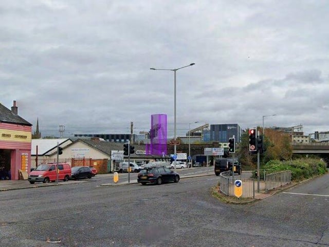
5. A59 intersection with Marsh Lane and Bow Lane
From the A59 intersection with Marsh Lane and Bow Lane, there will be some views towards the upper storeys of the development beyond existing built form closer in the view, including the gantries along the railway line. The podium will be completely screened. Photo: The Environment Partnership/Google
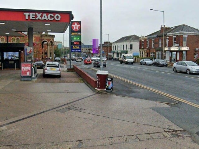
6. Junction of Garstang Road (A6) and St Thomas' Road
The illustration shows that the upper storeys of the tower will be visible beyond existing built form, but the podium will once again be completely screened. Photo: The Environment Partnership/Google
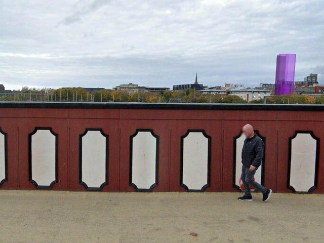
7. Fishergate railway bridge (looking north)
From the Fishergate railway bridge, there will be views towards the upper storeys of the tower section of the development. Views will be partially screened by the walls separating the roads from the railway line. The development will be seen in conjunction with other similar developments, including the Tram Shed student accommodation. Again, the podium section will be completely screened by intervening built form. Photo: The Environment Partnership/Google
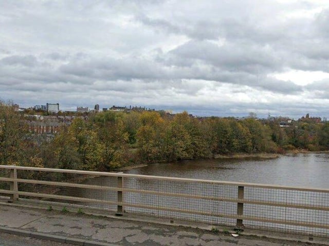
8. A59 bridge over the River Ribble (looking north east)
From the A59 bridge over the River Ribble, there will be views towards the upper sections of the tower, but the lower storeys and the podium will be screened by intervening built form and vegetation. Photo: The Environment Partnership/Google