
Met Office issues 18-hour ice warning after snow falls across Lancashire overnight

The Met Office has issued a yellow weather warning for ice as cold conditions continue to affect Lancashire.
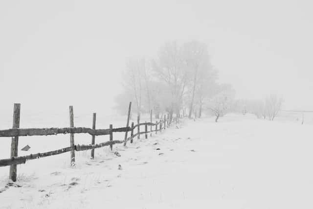
Snowfall overnight saw temperatures plummet below freezing, leading to school closures and disruptions across the county.
Temperatures are expected to peak to around 1C to 2C this afternoon before quickly dropping below zero again this evening, hitting lows of -10C in eastern areas.

The Met Office has subsequently issued a new yellow weather warning for ice which covers areas of West Lancashire, including Ormskirk, Burscough and Skelmersdale.
It will come into force at 4pm today and end at 10am on Friday (January 10).
The warning also covers Greater Manchester, Merseyside, Cheshire, the West Midlands and Wales.
A spokesman for the Met Office said: “Scattered wintry showers on Thursday evening will slowly fade overnight, leading to the risk of icy patches on untreated surfaces as temperatures fall below freezing.
“Isolated snow accumulations of 2-4cm will be possible, more especially in Wales on hills above 150m elevation.”
Wednesday night saw England, Wales and Northern Ireland’s coldest night of the winter, with -11.2°C, -7.9°C and -7.2°C respectfully.
-12.4°C was recorded at Tulloch Bridge in Inverness-shire, not quite as low as the winter low of -13.3°C recorded in the early hours of Monday 6 January.
Many places will see a day of dry and bright weather on Thursday, though it’ll remain widely cold.
Thursday night will be another bitterly cold night, with a widespread hard frost expected across the UK.
It is forecast to be the coldest night of the winter, with -16°C possible over snow cover in the Highlands of Scotland and high ground in northern England.
Friday will see the start of a change to our weather, with milder air attempting to move in from the southwest through the morning.
However, this frontal system will make only limited progress, bringing some patchy rain, sleet and snow across parts of southwest Britain.

Amounts of snow are uncertain – probably small and confined to high ground, but there is a risk of icy surfaces in places.
Much of the rest of the UK will have another dry and bright day but remaining very cold, with few freezing fog patches lasting all day.
Chief Meteorologist Paul Gundersen said: “Another very cold night is expected tonight with temperatures dipping as low as -16°C where we have lying snow in Scotland and northern England.
“Temperatures will also be well below freezing across much of the UK so there is a continued risk of ice overnight and through Friday morning’s rush hour.”