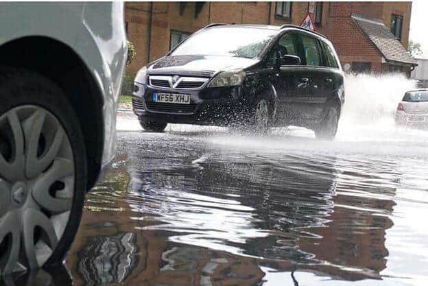
New homes might gave to be built in 'flood risk' areas of Preston, Chorley and South Ribble if not enough land is available
and live on Freeview channel 276
Sites that have been suggested for housing are currently being assessed as part of ongoing work to create the first ever joint local plan for Central Lancashire, which will guide development in the sub-region until the late 2030s.
A meeting of the area’s joint advisory committee last month heard that a strategic flood risk assessment (SFRA) is currently being carried out on the plots that could be earmarked for housebuilding. It is estimated that a minimum of 1,334 new properties will be required each year across the Central Lancashire patch between now and 2038.


Advertisement
Hide AdAdvertisement
Hide AdA report is set to be produced by May that will identify any potential flooding problems associated with each of the proposed sites, before more detailed scrutiny is given to those parcels of land where there is a particular issue.
The committee heard that other assessments of site suitability were also being undertaken and are due to be completed early this year. Only then will planners be able to consider flood risk in its full context.
“Once we’ve looked at …the supply [of land] that’s available, we’ll have a better understanding about whether we do have to potentially look at sites that fall within flood risk areas or not,” explained Chorley Council’s head of spatial planning, Zoe Whiteside. She added that “in an ideal world” that would not be necessary.
The further, so-called ‘level 2’ assessment of areas of potential flooding will explore what is known as “residual flood risk” - the danger posed if no mitigation measures were put in place. It will look at the impact of any flood defences being breached and consider the potential depth and velocity of flood water.
Advertisement
Hide AdAdvertisement
Hide AdAccording to Laura Thompson, an analyst for JBA Consulting, which is undertaking the SFRA, the work should “help to identify whether proposed development can be made safe for its lifetime, without increasing flood risk to the surrounding areas”. The lifetime of a residential development for the purposes of the assessment is 100 years.
The second stage of the SFRA will highlight where a specific flood risk assessment is needed for an individual planning application. What is known as the “exception test” must also be met - meaning that development deemed to be required in a flood risk area will have to provide wider "sustainability benefits" that outweigh that risk.
The broader ‘level 1’ assessment work currently being undertaken across the area will assess the risk from all sources of flooding - and factor in the impact of climate change.
“A sequential, risk-based approach is followed to steer new development to the areas with lowest risk of flooding,” Laura Thompson explained.