Yellow weather warning for wind issued for this weekend - this is when wind speeds will be strongest in Preston
and live on Freeview channel 276
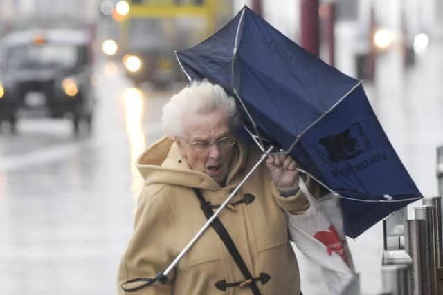
There will be strong gusty winds with showers that may bring some travel disruption.
Preston will be particularly affected with southwesterly winds reaching up to 24mph and wind gusts up to 47mph. Rain will be 80% likely from 6am and then again at 3pm with temperatures falling from eight to six degrees throughout the day.
Advertisement
Hide AdAdvertisement
Hide AdAt 6am there will be a 70% chance of rain, a temperature of eight degrees, southwesterly winds of 21mph and wind gusts of 42mph.

9am will see the chance of rainfall to 40% with the temperature remaining constant at eight degrees.
This continues to be the case until 3pm when the chance of rain increases again to 70% likely and westerly winds will decrease to 19mph with 39mph wind gusts.
From 6pm to 9pm the temperature will remain at six degrees and the chance of rain will be 50% falling to 40% by 9pm. It will feel like one degree due to the strong southwesterly winds of 18mph.
Advertisement
Hide AdAdvertisement
Hide AdThe strongest winds across the north west will likely occur during the heaviest showers.
Not all areas will see the strongest winds but gusts of 55 to 65mph are expected in places.
Showers are expected to fall as a mixture of rain, hail, and sleet, potentially with snow but this will potentially be restricted to higher ground above 200 to 300 metres.
The Met Office says winds will gradually moderate during Saturday evening.
Advertisement
Hide AdAdvertisement
Hide AdExpect some delays to road, air, rail, air and ferry transport as some bus and train services will be affected with some journeys taking longer than usual.
There may also be delays for high-sided vehicles on exposed routes and bridges.
Some short term loss of power is possible as well as from other services.
The Met Office recommends it may be advisable to stay clear of coastal routes, sea fronts and coastal communities if possible as they will be affected by spray and large waves.
Advertisement
Hide AdAdvertisement
Hide AdTheir advice for travelling in a storm, heavy rain or strong winds is to choose to travel on main roads if possible where you are less likely to be exposed to fallen branches, debris and flooding.
Gusts of wind can unsettle vehicles so grip your steering wheel firmly with both hands when driving, especially when planning to overtake another vehicle.
It’s advised to keep an eye out for gaps between trees, buildings or bridges over a river or railway where you are more likely to be exposed to side winds so ensure you maintain room either side of your vehicle so you can account for it being blown sideways.
Roads may also be slippery in wet weather so be sure to give yourself more time to react when approaching a hazard and increase your following gap to at least four seconds from the moving traffic in front of you.