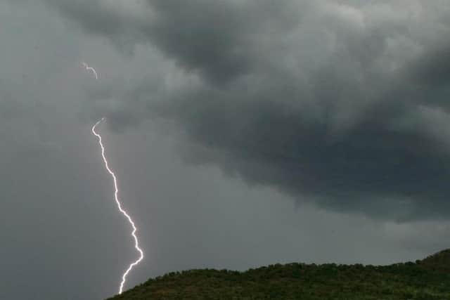
Thunderstorms return as UK braces for more disruption


Forecasters warned of "challenging" conditions for the morning commute, with a risk of localised flooding and surface water on roads posing a hazard to motorists.
Met Office meteorologist Simon Partridge said: "The storms have arrived along the south coast of England from the Isle of Wight to the Dove Strait with increasing amounts of thundery activity.
Advertisement
Hide AdAdvertisement
Hide Ad"Those storms are expected to clear by the time we get to 7am, leaving some light rain for an hour or so before it gets drier through the morning.
"The storms will continue north-eastwards over parts of East Anglia and the Humber before edging out over the North Sea.
"There could be some localised flooding, but certainly some surface water flooding which can cause problems to drive through as well as spray.
"So the early morning commute could be challenging, especially in areas north of London as that's where the heaviest rain will be at that point."
Advertisement
Hide AdAdvertisement
Hide AdAs well as problems on the roads, passengers using some southern routes have been advised to check for potential disruption to journeys.
Heavy, perhaps thundery rain at first, especially in the south of the north west region.
This will slowly ease although skies will remain largely cloudy with further light rain until mid afternoon. Thereafter, sunnier by the evening. Feeling warm and humid. Maximum temperature 20 °C
The mercury is expected to climb quickly after the lively weather moves through, with up to 27C (80F) expected in parts of the south on Tuesday afternoon.