Experts warning of 'serious earthquake risk' posed by drilling for shale gas


Former advisor to No 10, Professor Peter Styles, said hydraulic fracturing in former coal mining areas increases the probability of earthquakes on faults that have already been subject to movement through mining.
As the Government announced plans to speed up fracking developments by fast-tracking private companies’ planning applications, Professor Styles has called for more rigorous checks to identify the dangers.
Advertisement
Hide AdAdvertisement
Hide AdIn his new report, Fracking and Historic Coal Mining: their relationship and should they coincide? He said there was a “serious earthquake risk” posed by fracking in former coalfields, because induced tremors would be “dramatically enhanced”.
Although the Fylde has no mine workings, the Blackpool area was hit by two induced tremors in 2011 linked to Cuadrilla’s fracking operation at the now abandoned Preese Hall drill site.
Prof Styles recommends a 850-metre buffer zone between fracking and any significant natural fractures or faults. There are faults beneath the Fylde.
He said: “Unfortunately the physics of it means you cannot see those faults with the (survey) waves that you put into the earth. To date it does not appear that any proper industry or government due diligence has taken place with regards to fault lines mapped.”
Advertisement
Hide AdAdvertisement
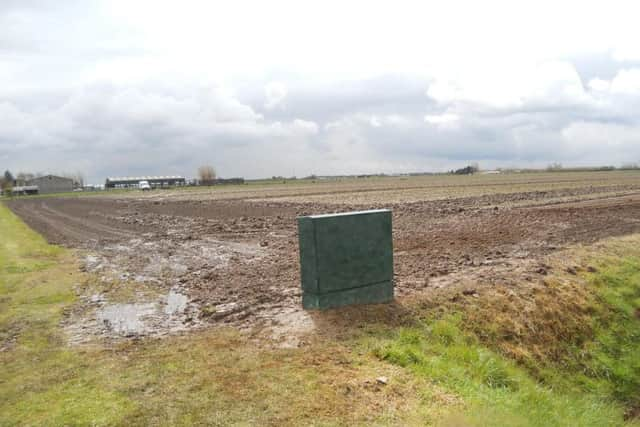
Hide AdBut shale industry body UKOOG said mapping had been done and that a “traffic light” monitoring system had been put in place to prevent tremors using Cuadrilla’s monitoring stations (pictured).
Ken Cronin, CEO of UKOOG, said: “To comply with UK regulation we have to map faults and other subsurface features, manmade or natural, in order to receive approval of a hydraulic fracture plan from the Oil and Gas Authority (OGA) and to demonstrate to the Environment Agency (EA) that groundwater is not at risk through permitting and the required subsurface information plan.
“For sites that involve hydraulic fracturing we are required to design a monitoring network to enable the governments traffic light system to be applied, this ensures we can meet the tight controls, with an upper limit of 0.5 local magnitude and also a local surface vibration network is required.
“This risk based regulatory approach ensures that the impacts associated with induced seismicity are well understood.”