Work begins on £45m flood defence scheme for River Ribble through Preston


Contractors are beginning ground investigation work along a notorious stretch of the River Ribble from Riversway up to Samlesbury which threatens 3,600 houses and more than 300 businesses during storms every year.
New flood defences are to be built, starting next year, to protect low-lying land along the route of the Ribble through Preston.
Advertisement
Hide AdAdvertisement
Hide AdAnd existing flood barriers which were built up to a century ago are to be replaced to improve the chances of the waterway and the land being kept apart in times of extreme weather.
“Ground Investigation work is a key milestone in the £45m Preston and South Ribble Flood Risk Management Scheme," said Andy Brown, flood risk manager for the Environment Agency.
"Our team are currently focused on refining the design of the scheme following engagement with residents and businesses throughout 2018 and 2019 on the initial proposals.
“Ground investigations provide critical data which helps us to test assumptions we’ve made to date when planning the scheme, costing the scheme accurately and they ensure we can move into the construction phase with a full understanding of conditions on the ground.
Advertisement
Hide AdAdvertisement
Hide Ad“In these unprecedented times, the safety of our staff, contractors and the public is paramount. We are following Government’s guidelines and continue to protect people and the environment, working alongside our partners.”
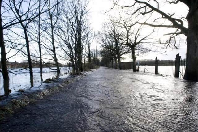
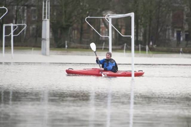
Flooding has always been a hazard for Riversway, Broadgate, Lower Penwortham, Frenchwood, Walton-le-Dale, Fishwick Bottoms, Higher Walton and Samlesbury when the level of the Ribble rises due to storms and high tides.
The Environment Agency says some of the existing defences are coming to the end of their life and are in urgent need of replacement.
It is expected that the ground investigation work will take around 12 weeks to complete. Contractors will employ ground-penetrating radar to assess the land on either side of the river and then make boreholes and hand-dug inspection pits to establish the make-up of the river banks.
Advertisement
Hide AdAdvertisement
Hide AdWhen construction work begins in 2021, it is expected that Penwortham, Riversway and Broadgate will be the first areas to get the new flood defences.
Flood walls and embankments, even glass panels, will be used to prevent the river coming over the top and inundating residential neighbourhoods and also grassed areas like Avenham and Miller Parks, Penwortham Holme playing fields and the land around the Tickled Trout Hotel at Samlesbury.