Update: River levels at record highs as flood hit homes are evacuated


The Environment Agency currently has seven severe flood warnings issued for severe flooding and danger to life, three in Whalley and two in Ribchester, and an evacuation centre has been set up in Longridge.
The Army has been brought in to assist the fire service, police and Lancashire County Council with evacuations after the River Calder burst its banks in Whalley.
Advertisement
Hide AdAdvertisement
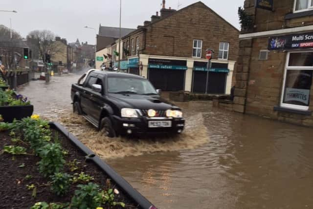
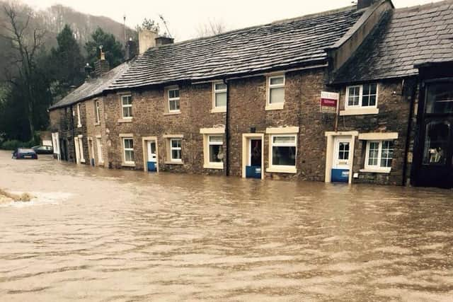
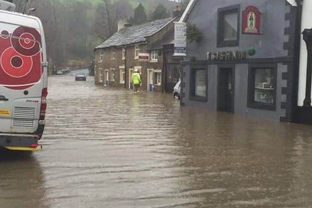
Hide AdWhalley centre is flooded in King Street and in neighbouring streets and Padiham, Ribchester and Earby town centres are also under water.
According to GaugeMap.co.uk, the river at Whalley Weir is 4.344m breaking 4.122m set on June 23rd, 2012. The River Calder at Padiham is at 3.19m, the previous record being 2.536m recorded on the June 22nd, 2012.
The River Ribble at Ribchester is at 5.369m, higher than the 5.339m set on January 21st, 2008. Earby New Cut is at 1.95m breaking the previous record of 1.609m from February 11th, 2002.
There are currently two other severe flood warnings in place in Lancashire, at St Michael’s on Wyre, while 71 are in place in the North West region.
Advertisement
Hide AdAdvertisement
Hide AdThese warnings cover locations including Barrowford, Burnley, Colne, Clitheroe, Earby, Nelson, Padiham and Trawden.
The Met Office has also issued a red rain warning for Lancashire as prolonged heavy rain is expected to last for much of Boxing Day. The evacuation centre is at Longridge Civic Hall, Willow Park Lane, Calder Avenue, Longridge, PR3 3HJ.
RELATED ARTICLES: